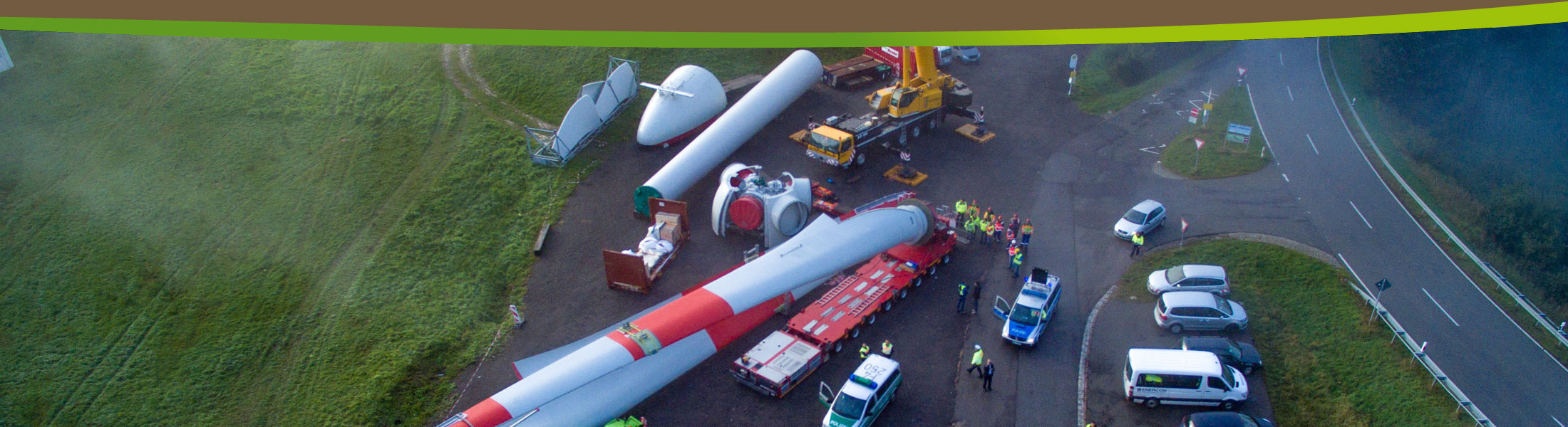


Feasibility Studies
- Capture of objects and obstacles on routes (e.g. tunnels, bridges, walls, signs, curves, etc.)
- Feasibility studies and solutions
- Simulation of transports
- Visualization of transport roadways
- Visualization of hardstands
- Creation of site plans, cross-sections and gradient diagrams based on real data
- Creation of digital terrain models based on real data
- Calculation of difference quantities (cut and fill quantities)
- Preservation of evidences before and after reconstruction measures
- Appraisal of expansion plans for plant halls or plant grounds
- Target-/actual-comparison of access roads to construction sites
- Digitization of road damages / equipment
- Capture of municipal infrastructures including power lines
- Mapping of routes for planned major events
- Capture of tree population